Projects
- Astichello River Park
maps — 2026

Mobile-first public website for the Astichello river corridor, with clear editorial content, local history, public documents, and a tailored map experience.
mapspublic-sectorparksmobile-firstopen-dataView project → - StreetGap
ai — 2026
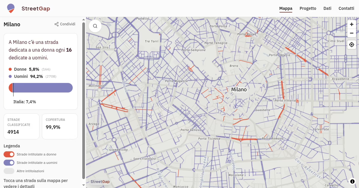
Open data project using AI-assisted classification to analyze gender representation in Italian street names.
aicivic techdata-visualizationopen-datamapsequalityView project → - Movedule
maps — 2026
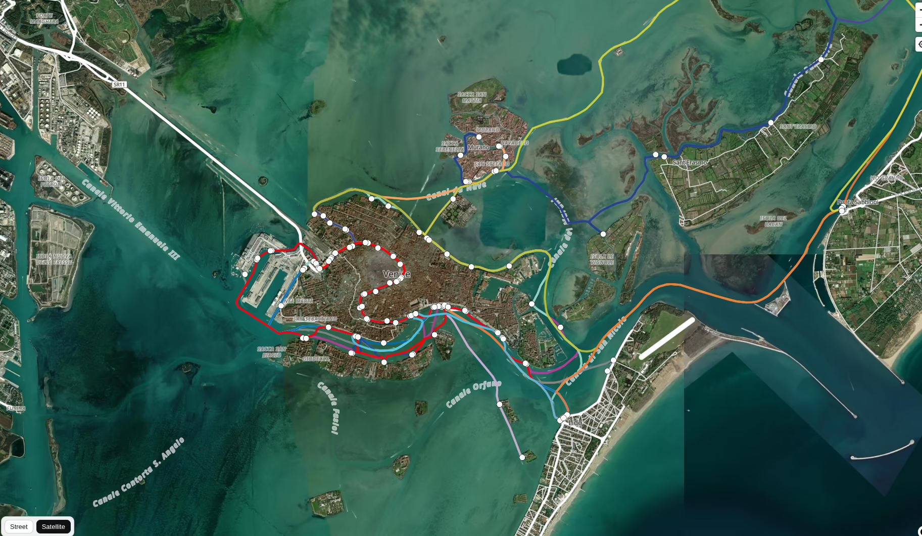
Public transport vehicles on a live map — position estimated from schedule data, no GPS required.
mapsopen-datatransitgtfsView project → - SeaLevelMap
maps — 2025
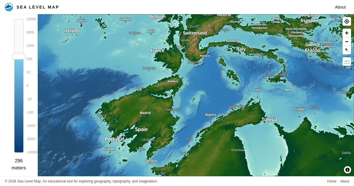
Interactive map with hillshading and bathymetry — drag the sea level slider and watch coastlines shift in real time.
mapsdata-visualizationwebglopen-dataView project → - OSM Landuse Import — Veneto
openstreetmap — 2025
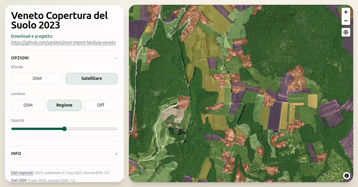
Pipeline and interactive viewer to import Veneto's 2023 land cover data into OpenStreetMap, with per-municipality .osm files and a map diff tool.
openstreetmapopen-datamapspythongeospatialView project →