Movedule
2026-01-10
Tags: maps, open-data, transit, gtfs
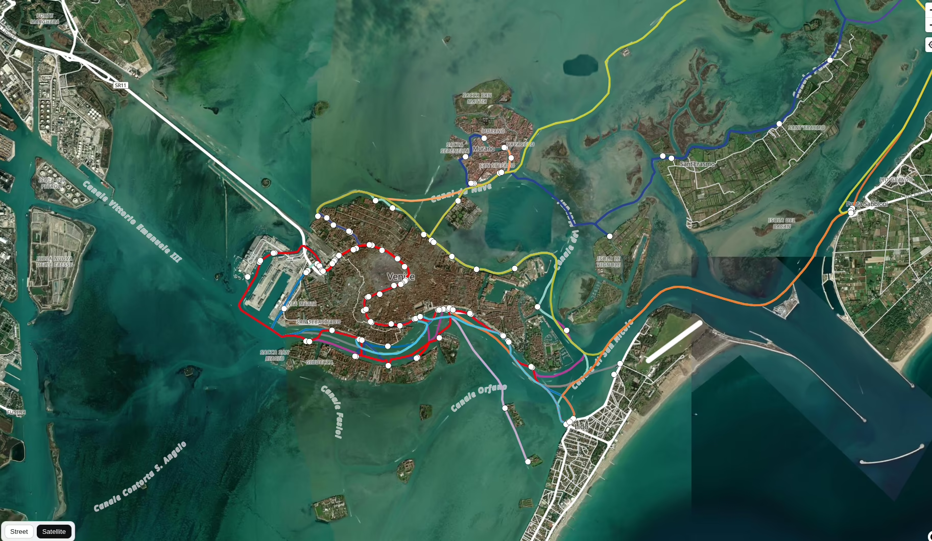
Public transport vehicles on a live map — position estimated from schedule data, no GPS required.
Project link: movedule.nicolacandoni.it
Public transport maps usually show you stops and lines. Movedule shows you the vehicles themselves — moving in pseudo real-time across the map.
There are no GPS feeds involved. Instead, the system reads GTFS schedule data (the open standard used by transit agencies) and computes where each vehicle should be at any given moment based on its timetable. The result is a best-effort live view of the network, updated continuously.
This approach works surprisingly well for regular routes and makes it possible to visualize entire urban transit networks without relying on expensive real-time data APIs.
Stack: GTFS parsing, schedule interpolation, map rendering.
- Year: 2026
- Status: in progress