Astichello River Park
2026-05-02
Tags: maps, public-sector, parks, mobile-first, open-data
Mobile-first public website for the Astichello river corridor, with clear editorial content, local history, public documents, and a tailored map experience.
Project link: astichello.it
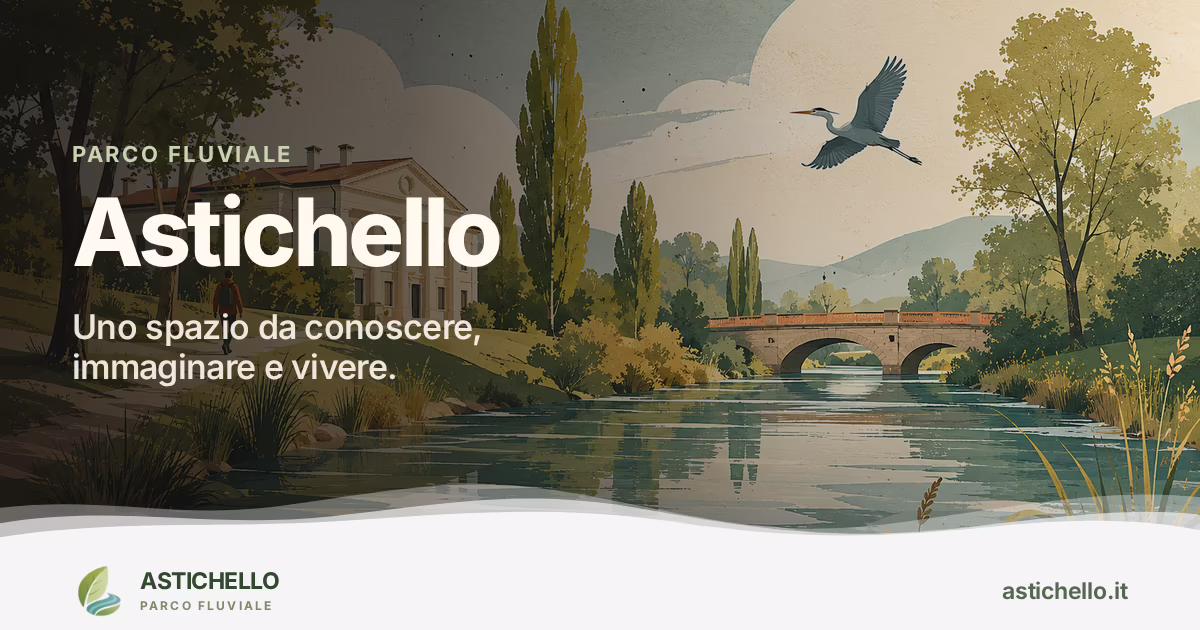
Astichello is a public website for the Astichello river corridor near Vicenza. It presents the river as a landscape, a public space, and a local infrastructure that people can understand and visit.
The site brings together editorial content, local history, official documents, routes, access points, and maps. Instead of leaving this material split across PDFs, separate maps, and scattered pages, Astichello turns it into one clear public resource.
The project is designed mobile-first. People can open the interactive map on their phone while they are in the area and use it to follow paths, find places, and connect what they read with what they see around them.
The map style was carefully customized for this landscape. Colors, labels, paths, and points of interest are tuned to support orientation and give the site a stronger sense of place.
Astichello is also a reference model for municipalities, parks, and public bodies that need to communicate river systems, green corridors, walking and cycling networks, or landscape projects in a clear and trustworthy way.
Stack: Astro, Tailwind CSS, MapLibre GL, PMTiles, GeoJSON.
- Year: 2026
- Status: live